Know the origin
RFID identifiers and mapped farm locations connect seedlings with their provenance, making records easier to retrieve throughout the growing cycle.

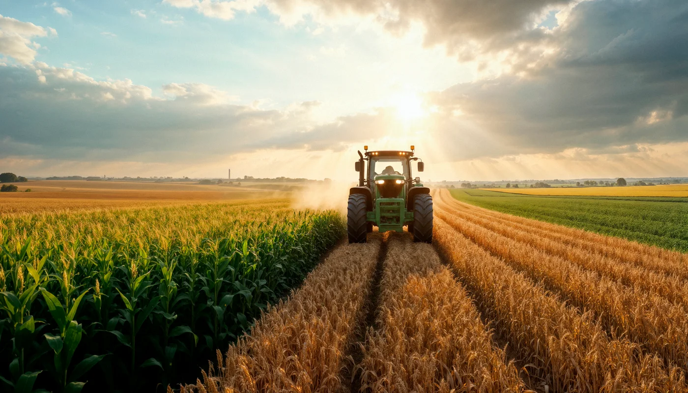
Near-infrared quality assessment, crop traceability and UWB positioning connect the journey from seedling to harvest.
From seedling to harvest
RFID identifiers and mapped farm locations connect seedlings with their provenance, making records easier to retrieve throughout the growing cycle.
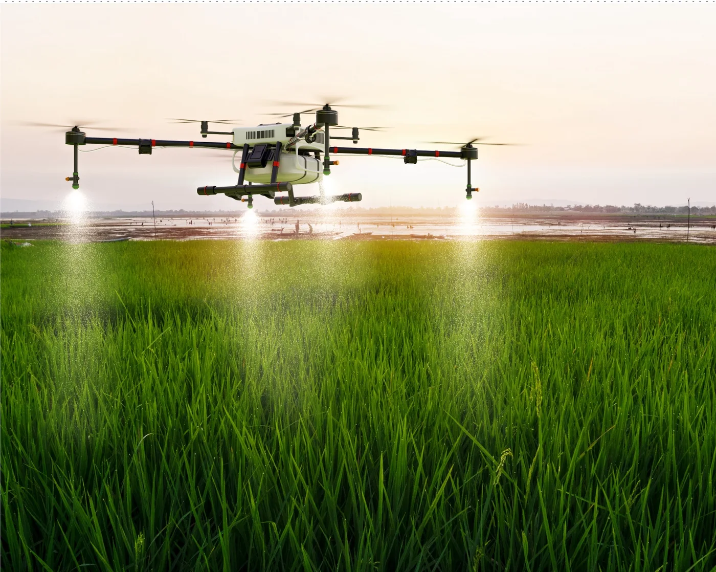
Combine soil and air readings with drone imagery to follow crop condition and support earlier investigation of unusual changes.
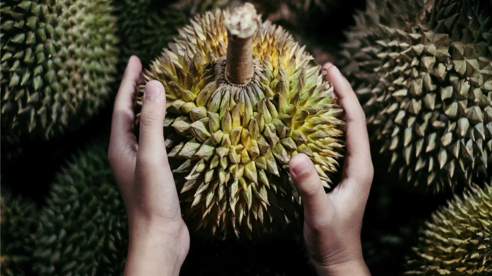
Near-infrared scanning supports non-destructive assessment of durian maturity and quality. Models need calibration for the variety and operating conditions.
Connect harvest, grading and cold-chain records with accessible product information, including QR-code and blockchain-based traceability workflows.
UWB positioning
Tags, anchors, a gateway and applications turn positioning observations into support for coordination and safety.
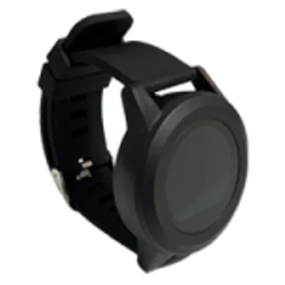
People, vehicles or assets carry tags that broadcast positioning signals.

Fixed anchors receive signals and support two-way communication.
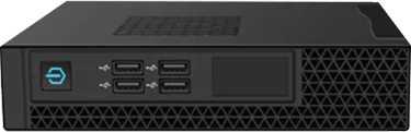
A gateway exchanges device data and supports position calculations.
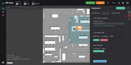
Present location information to support work coordination and safety workflows.
Comprehensive sensor networks capturing real-time environmental and crop data for actionable insights.
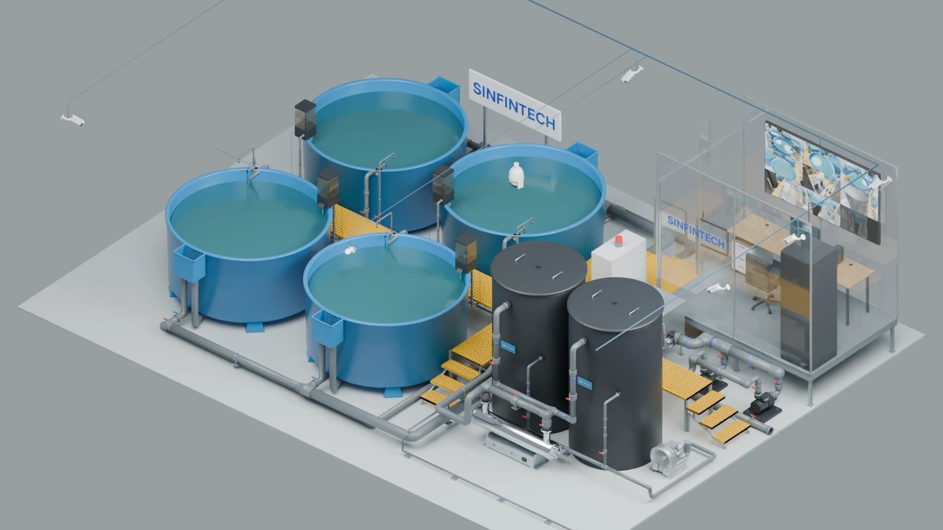
Culture tanks, water treatment and monitoring, designed to work together.
Sensor-to-control autonomy stack for air, sea, and land operations.
Start with what matters
Our experts will design a precision agriculture solution tailored to your crops, aquaculture or specialty farming needs. Transform uncertainty into predictable yields.